Knowing how to interpret a wave forecast is one of the most important skills a surfer can have. Especially in a destination like Indonesia, where conditions can change rapidly, understanding the forecast will allow you to choose the best spot, surf safely, and make the most of every session.
In this guide, you will learn to read the main elements of a surf forecast:
swell, period, direction, wind, tides, and more, with clear explanations and specific tips for surfing in Indonesia.
🌊 What is a wave forecast?
A
forecast is a report that predicts how the sea will behave at a specific place and time. It includes key data such as wave height, swell direction, period, wind, tides, and general conditions.
This data is constantly updated in specialized apps and websites and is based on weather models that analyze ocean movement on a large scale.
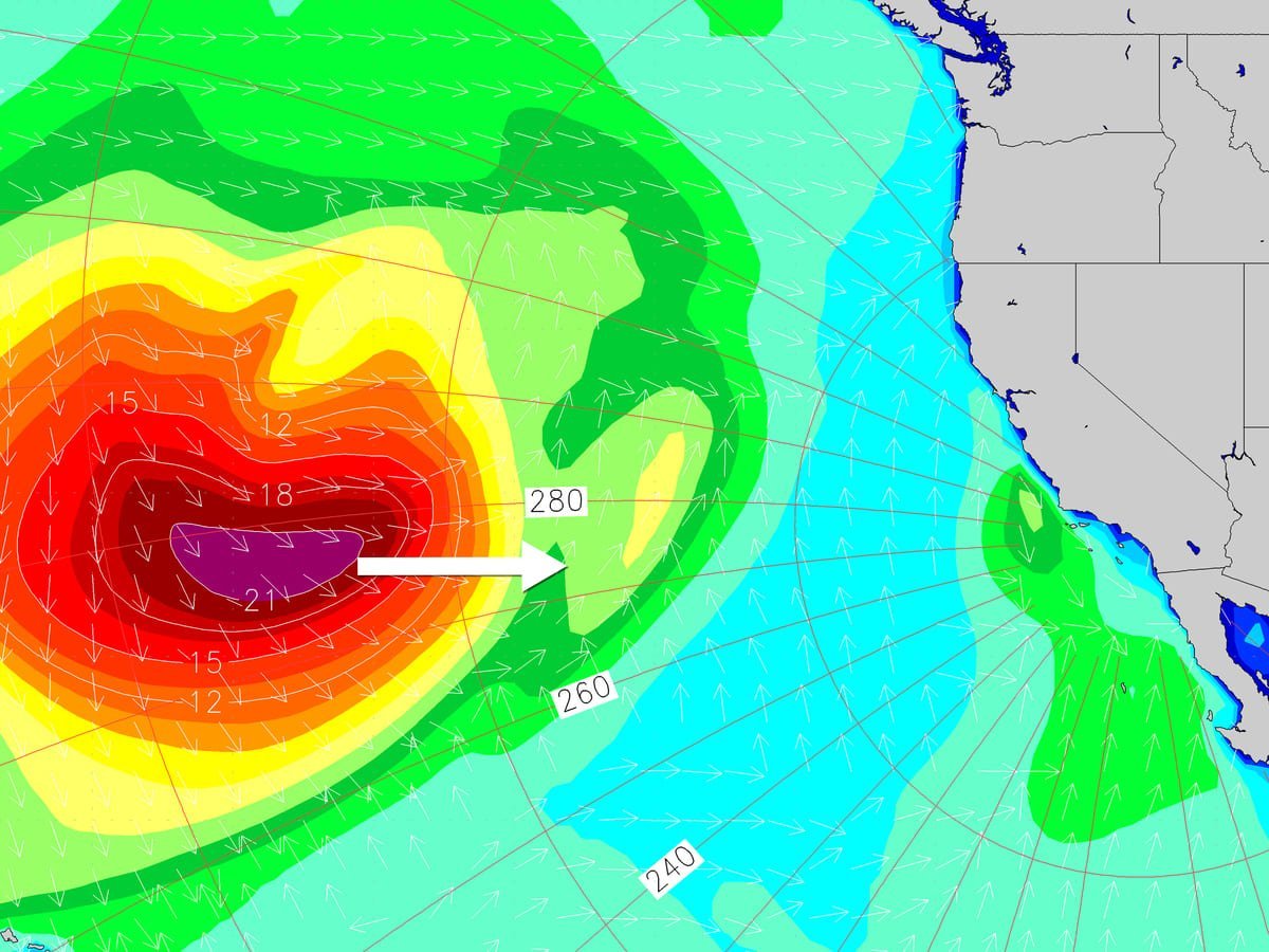
📏 Swell Height
- 🔹 What it is: Average height of the waves generated by a swell.
- 🔹 How it is measured: In meters or feet.
- 🔹 What it means in Indonesia:
- 0.5 – 1.0 m → mild conditions
- 1.0 – 2.0 m → ideal conditions at most spots
- 2.0 m and above → powerful reef breaks or only for advanced surfers
📌
Tip: Some beaches work better with small swells (like
Batu Karas), while others need larger sizes (like
Desert Point or
Greenbush).
⏱️ Swell Period
- 🔹 What it is: Time between one wave and another.
- 🔹 How it is measured: In seconds (s).
- 🔹 What it indicates:
- < 10 s → small, messy waves
- 10–13 s → consistent waves, good shape
- 14+ s → solid swell, more power in the waves
📌
Golden rule: The longer the period, the more energy the wave brings. A 1.5 m wave with 16 seconds can have more strength than a 2 m wave with 9 seconds.
🧭 Swell Direction
- 🔹 What it is: The direction from which the swell arrives (in degrees or cardinal points).
- 🔹 Why it matters: The orientation of the spot relative to the swell determines whether the wave comes in clean or not.
📌
Example:
- Southwest (SW) swell is ideal for
Uluwatu
- South (S) swell can work at
Lombok and
Mentawai
🗺️
Tip: Use satellite maps to check the orientation of the spot against the swell.
🌬️ Wind Direction and Strength
- 🔹 What it is: The wind blowing over the coast and how it affects the shape of the wave.
- 🔹 Types:
- Offshore: from land to sea → ideal
- Onshore: from sea to land → less favorable
- Cross-shore: sideways → can work
- 🔹 Strength:
- 0 – 5 km/h → glassy
- 5 – 15 km/h → ideal if offshore
- +15 km/h → can affect wave quality
📌 In Indonesia, many areas have offshore wind in the morning and onshore in the afternoon.
🌑 Tides
- 🔹 What they are: Changes in sea level that affect the shape of the wave.
- 🔹 Why it matters: Some spots only work with high or low tide.
📌
Example:
-
Padang Padang works best with mid-low tide
-
Gerupuk Inside needs a higher tide
⏰
Tip: Use local tide apps or check the tide table for the day.
🔄 Combined Conditions: How to Read Everything Together?
Example of a forecast:
- Swell: 1.6 m @ 15 s from 210° (SW)
- Wind: 5 km/h offshore
- Tide: mid falling
🎯
Result: ideal conditions for
Bingin or
Uluwatu, especially in the morning.
🧠 Recommended Apps
- Windy
- Windguru
- Magicseaweed (now on Surfline)
- Surf Forecast
- Stormglass (for technical data)
📌
Tip: Compare at least two sources. Don’t rely solely on the numbers, use your judgment and experience.
✅ Conclusion
Reading a forecast is more than just looking at numbers: it’s understanding how that data translates into real action in the sea. In a country with so many spots like Indonesia, mastering this skill will give you a huge advantage.
🔍
Study the forecast, understand your wave, and plan worthwhile sessions. Your best wave depends not only on the ocean but also on your preparation.